
Compact A1 Size 1:150000 scale map focussing on the Isle of Skye and surrounding area. Available as a printed map to hang on a wall or frame or available folded for tourist trips. Prices from £6.99.
78 total views, 2 views today
We have added some titles to our range of county boundary maps.
What are county boundary maps?
County Boundary maps show Ordnance Survey mapping which have had the district and county boundarys added as coloured shading.
Which Counties are available?
Maps available to buy:
How much do they cost?
All the maps are available to be supplied folded or rolled.
Folded maps are available on a standard Matte coated paper for £12.99 or printed onto a water resistant coated paper for £16.99
Wall maps are supplied rolled and can be supplied printed onto Standard paper for £23.99, Face laminated for £36.49, Double Side Laminated for £48.99 or Photo Paper for £36.49.
Flat maps are supplied rolled in a poster tube. All variations are sent via a Royal Mail 1st class service.
180 total views, 1 views today
Handy glove box sized Ordnance Survey Road Map highlighting the West Highland Way walking route. The route runs from Milngavie to Fort William and travels through Loch Lomond and the Trossachs National Park.
Prices from £6.99 (including UK Delivery).
Available as a Folded map or as a Wall Map
186 total views, 2 views today
Series of A1 sized wall maps of Scotland at 1:775,000 scale. Prices start from £10 + postage.
Variations include: Travel Map, Postcode Area Map, Boundary Map, Relief Map, Relief Map with Transport.
Maps are available printed onto paper or laminated.
223 total views, 1 views today
We have created a range of wall maps covering the United Kingdom mainland.
Categories include:
All the maps are available to be printed onto paper or with a laminated finish. The laminate we use is suitable for writing on with dry-wipe markers.
Maps are supplied rolled in a eco-friendly cardboard tube and sent via Royal Mail or Hermes.
If you would like a quotation for a customised version of any of the maps:
247 total views, 1 views today
UK Map Centre will be fulfilling orders during the UK lockdown.
If you have any enquiries or questions you can email us by clicking here or by completing our online contact form and someone will be in touch in due course.
338 total views, 1 views today
We are now offering OS MasterMap® Topography and OS Terrain 5 in a Shapefile (.shp) format. The images are supplied with SHP, SHX and DBF files and these are designed to be easily imported into GIS packages.
Prices start from £18.80 + VAT and the products are available with 1, 2 or 3 year copyright terms.
Download a sample OS MasterMap® file here
Download a sample OS Terrain 5 file here
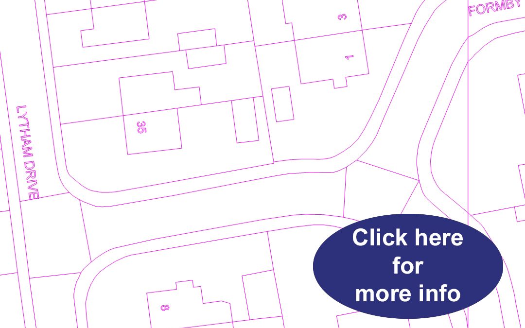
Or click the image above to plot your own area on our page at www.ukmapcentre.com
704 total views, 1 views today
We have added a new Loch Lomond Map to our series of compact sized tourist maps.
The map uses 1:50000 scale OS Landranger® style mapping to cover the entire Loch and surrounding area. Ideal for planning a trip for walking, boating and may other outdoor pursuits the area has to offer.
Prices for the map begin at £6.99.
To view more information or to buy a copy click here or the image above!
468 total views, 1 views today
We have updated our series of Administrative boundary maps. The maps split the UK into 8 maps which display:
Each map shows a key for identifying the different boundary / borough sectors.
Now available folded or flat!
659 total views, 1 views today